

Nossos serviços estão apresentando instabilidade no momento. Algumas informações podem não estar disponíveis.
-
Home

-
Geosciences
-
Territorial organization
-
Territorial Organization
- NP-Territorial structure
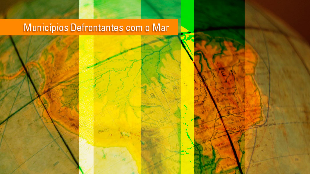
Municipalities facing the sea
Description
The product derives from the updated Digital Municipal Mesh. The IBGE revises it annually as it is a basis for its Surveys and Censuses. The new version replaces that of 2015, in compliance with item I, of of Article 4 of Section I of Chapter II of Decree 5300 of December 7, 2004, which determines that the IBGE prepare a list of coastal municipalities (“...municipalities facing the sea, as defined by a list made by the Brazilian Institute of Geography and Statistics Foundation – IBGE…”).
Technical Information
Technical Note
The coast line described here does not intend to portray the average tide line or the influence of the coastal dynamics, or even to cover the typical contours of our coast (bays, deltas or other estuary-lagoon systems); neither does it result from fluvial-marine erosion studies.
For what it is worth, this study has nothing to do with the list of municipalities with a direct influence on the phenomena taking place in the coastal area as described by the MMA in Ordinance No. 461, of 12/13/2018. Moreover, this product must not be used as a reference for the analyses of Decree 93.189/86, which regulates the tracing of the projected borderlines between the land areas of states and municipalities and the sea facing them.
About the publication - 2022
This publication includes the borders of the municipalities facing the sea plus the area of Lagoa dos Patos (RS).
This publication is the result of geoprocessing operations based on the 2022 Digital Municipal Mesh, available on the following address: https://www.ibge.gov.br/en/geosciences/territorial-organization/territorial-meshes/2786-np-municipal-mesh/18890-municipal-mesh.html
Therefore, this publication inherits all the characteristics and conditions of use associated with the 2022 Digital Municipal Mesh.
- The cartographic bases available are compatible with the original scale of work - 1:250,000, without any suppression of points, according to the technical criteria pre-established by IBGE/DGC/CETE.
- Geodetic System of Reference - SIRGAS 2000
- System of Geographic Coordinates
- Text codification - UTF-8
This publication comprises two geospatial files in SHP and KML formats, one spreadsheet in XLS and ODS formats containing only the attributes and one map.
Sedes_Municipios_defrontantes_com_o_Mar_2022: This is the representation of the points that represent the municipal capitals of each municipality of the region. It comprises 279 points. It shows the following attributes:
- NM_REGIAO: Informs the name of the geographic Region that the municipality belongs to.
- CD_UF: Numeric code associated by the IBGE to the State that the municipality belongs to.
- NM_UF: Name of the State that the municipality belongs to.
- SIGLA: Acronym of the State that the municipality belongs to.
- CD_MUN: Numeric code associated by the IBGE to the Municipality.
- NM_MUN: Name of the Municipality.
- LAT_SEDE: Latitude coordinate expressed in decimal degrees.
- LNG_SEDE: Longitude coordinate expressed in decimal degrees.
Municipios_Defrontantes_com_o_Mar_2022: This is the representation of the polygons of the municipalities facing the sea. It comprises 279 polygons of municipalities plus Lagoa dos Patos. It shows the following attributes:
- CD_MUN: Numeric code associated by the IBGE to the Municipality.
- NM_MUN: Name of the Municipality.
- SIGLA: Acronym of the State that the municipality belongs to.
- AREA_KM2: Total area of the municipality expressed in square kilometers.
- NM_REGIAO: Informs the name of the geographic Region that the municipality belongs to.
- CD_UF: Numeric code associated by the IBGE to the State that the municipality belongs to.
- NM_UF: Name of the State that the municipality belongs to.

More on the product - 2022
Learn more - 2022
News and Releases
IBGE releases 2024 update of geographic divisions in Brazil
The IBGE makes available today (24) the 2024 update of 21 legal territorial and institutional divisions...
24/06/2025

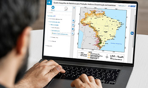
IBGE updates geographic divisions of reference to disseminate results of 2022 Census
The IBGE released today (19) the 2022 edition of the Geographic Reference Framework for the Production,...
19/07/2023
IBGE releases updating of legal territorial divisions of Brazil
The IBGE releases today (14) an updating of the legal territorial divisions of Brazil. Altogether, they...
14/07/2022
IBGE updates municipalities in borderland strip and facing the sea due to changes in limits
The IBGE releases today (06) two products that update the list of municipalities of the borderland strip...
06/07/2021
IBGE discloses list of municipalities facing the sea
The IBGE has disclosed today (22) the list of the 280 Brazilian municipalities facing the sea. The digital...
22/06/2020
Geospatial technologies improve border of Brazil with South America
To accomplish these changes with ten neighbor countries, the IBGE queries the Ministry of Foreign Relations´...
22/06/2020
IBGE updates list of municipalities facing the sea
The IBGE puts out today the list of the 280 Brazilian municipaities facing the sea. The digital files of...
27/03/2019
Errata
Replacement of the Thematic Map, in PDF, of product "Municipalities Facing the Sea"
Published date: 31/07/2025
Description:
Layout problems in the map, 2024 edition, specifically in relation to the positioning of the names of features.Actions: Adjustments have been made and map file, in PDF, replaced.