Nossos serviços estão apresentando instabilidade no momento. Algumas informações podem não estar disponíveis.
-
Home

-
Geosciences
-
Maps
-
Continuous cartographic bases
- NP-Continuous cartographic bases - Brazil
Continuous cartographic bases - Brazil
Technical Information
About the publication - Brazil - 1:250 000, version 2025
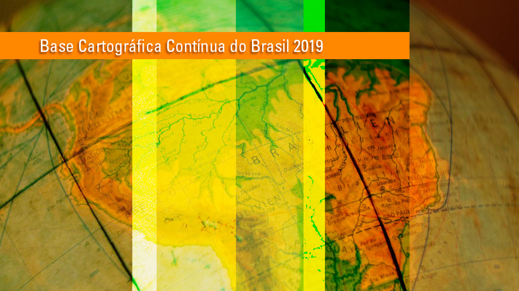
Released every two years, the Continuous Cartographic Base of Brasil at a scale of 1:250,000 (BC250) provides an integrated view of the Brazilian territory and supports territorial planning, monitoring and management, allowing for the mapping of themes such as population, geology, vegetation, soils and natural resources.
Since 2014, the BC250 has been part of the Permanent Update Program (PAP), which ensures methodological improvements, quality inspections, and the continuous incorporation of new data. As the largest continuous cartographic database on a national scale, it has become a reference for GIS users and geographic databases in applications for the whole Brazilian territory. In addition, the BC250 Transportation System is the Brazilian geospatial reference in the Observatorio de Infraestructura de América del Sur (South American Infrastructure Observatory) Project, which brings together 12 countries under the coordination of the Latin American Institute for Technological Evaluation (ILAT).
Among the major improvements of this version compared to that of 2023, the highlights are:
- Update of the municipal meshes, including the new municipality of Boa Esperança do Norte (MT), and revision of Brazil's northern border with French Guiana, Guyana, Suriname, Venezuela, Colombia, and Peru;
- Expansion and improvement of the Transportation System, with more comprehensive updates of the road, rail, waterway, and airport subsystems;
- Improvement of the topological consistency of Hydrographic features;
- Validation of approximately 44,000 feature names in the database, including 7,384 Localities, 33,720 Hydrographic features, and 2,292 Relief features.
The product follows the norms of the National Cartographic System, meets the standards of the National Spatial Data Infrastructure (INDE), and is structured according to ET-EDGV 3.0.
More on the product - Brazil - 1:250 000, version 2025
Publications - Brazil - 1:250 000, version 2025
Learn more - Brazil - 1:250 000, version 2025
News and Releases
IBGE updates the Continuous Cartographic Base of Brazil in 1:250,000 scale
The IBGE launches today (December 8) the new version of the Continuous Vector Cartographic Base of Brazil...
08/12/2021

IBGE releases new version of Continuous Cartographic Base of Brazil, in 1:250,000 scale
Reference to the actions of territorial planning, monitoring and management, as well as to the update...
27/11/2019