

Nossos serviços estão apresentando instabilidade no momento. Algumas informações podem não estar disponíveis.
Biomes
Description
The Map of Brazilian Biomes results from the cooperation agreement executed by the IBGE and the Ministry of the Environment in August 2003. With its publication, the Brazilian governemnt and society can count on a valuable tool for specific policy making for the different Brazilian Biomes, namely: the Amazônia Biome, the Mata Atlântica Biome, the Caatinga Biome, the Cerrado Biome, the Pantanal Biome and the Pampa Biome.
 Experimental GEO TRADUZIR
About the publication - Terrestrial Natural Regions and Domains of Brazilian Biomes: A proposal of natural regionalization
The political-administrative limits make up the reference framework for the activities related to the Brazilian state structure. However, as they do not capture the essence of distribution patterns of phytodiversity and not incorporate the natural elements of support and composition of ecosystems, they show restrictions for the modeling required by the processes of production, analysis and dissemination of statistics, especially the environmental ones. For this reason, given the great extension and plurality of characteristics of the National Territory, other geographies and spatial delimitations, such as river basins, biomes, ecosystems and ecological regions, for instance, comprise relevant categorizations.
Sensitive to the fact that a territory should be analyzed under several perspectives, scales and dimensions of study, the IBGE provides, in this publication, a proposal for natural regionalization whose units were delimited based on essentially ecological criteria - not matching, therefore, the political-administrative limits already established.
Implemented from the analysis and integration of thematic records on natural resources available in the IBGE´s Environmental Information Database - BDiA, complemented by secondary elements, especially climate ones, also institutional, this regionalization, among other targets, aims at: delimiting the landscapes representing the physical-biotic diversity of the six Brazilian biomes, including the ocean islands, through natural terrestrial units classified as Natural Domains and Natural Regions; and building a spatial base of reference for the production and dissemination of environmental, social, economic and population statistics, based on physical and biotic attributes.
It is still a study of experimental nature for not meeting a complete degree of maturity in terms of methodology, harmonization and coverage. Nevertheless, it is expected that the new recognized terrestrial spatial geographies - 46 Natural Domains and 271 Natural Regions - can not only contemplate the demands of those interested in an increasingly detailed of the representativeness of the ecological diversity of the National Territory, but also give rise to new studies and contributions concerning this theme.
Enclosing a wall map in the 1:5 000 000 scale in PDF format, the publication is available on the IBGE portal, as well as the database in the 1: 250 000 scale in vector format.
Experimental GEO TRADUZIR
More on the product - Terrestrial Natural Regions and Domains of Brazilian Biomes: A proposal of natural regionalization
Experimental GEO TRADUZIR
Publications - Terrestrial Natural Regions and Domains of Brazilian Biomes: A proposal of natural regionalization
Experimental GEO TRADUZIR
Learn more - Terrestrial Natural Regions and Domains of Brazilian Biomes: A proposal of natural regionalization
News and Releases
IBGE launches unprecedented map of Biomes and Coastal-Marine System
Compatible with the scale of 1:250,000, the map brings improvements in the representation of the boundaries...
30/10/2019
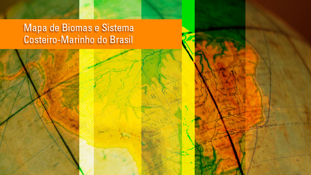
20 times more detailed map shows Biomes and Coastal-Marine System
The IBGE launches today, 30, the Map of Biomes and Coastal-Marine System of Brazil in the 1:250,000 scale...
30/10/2019

Errata
Calendar error in release: “Updating of the Coastal-Marine System - 2024”
Published date: 30/07/2024
Description:
Error characterized for not meeting the date scheduled in the release of the product, according to calendar made available in December 2023. The product was delayed due to a calendar adjustment to launch the product in the event of Brazilian Coastal Management, on a date agreed between the Coordination of Coastal Management of the Ministry of Environment and the Secretariat of the Interministerial Commission for Sea Resources. The title of the product was also readjusted from "Updating of the Coastal-Marine System - 2024" to "Adjustment of the east border of the Coastal-Marine System to the Blue Amazon."Therefore, the data scheduled for the release of the product "Adjustment of the east border of the Coastal-Marine System to the Blue Amazon" was postponed from July to August 2024.
Actions: The release calendar has been changed.
Estas informações geoespaciais são classificadas como experimentais e devem ser usadas com cautela, pois são informações novas que ainda estão em fase de teste e sob avaliação. Elas são desenvolvidas e publicadas visando envolver os usuários e partes interessadas para avaliação de sua relevância e qualidade. Caso deseje deixar uma crítica ou sugestão, clique aqui para deixar sua opinião.