

Nossos serviços estão apresentando instabilidade no momento. Algumas informações podem não estar disponíveis.
-
Home

-
Geosciences
-
Territorial organization
-
Territorial Organization
-
NP-Territorial analyses
- NP-Geographic Reference Framework for the Production, Analysis and Dissemination of Statistics
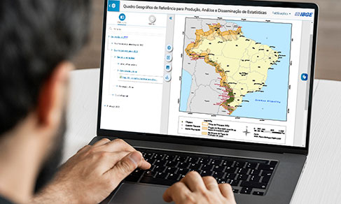
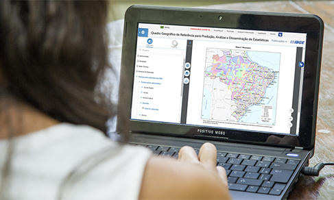
Geographic Reference Framework for the Production, Analysis and Dissemination of Statistics
Description
The Geographic Reference Framework for the Production, Analysis and Dissemination of Statistics aligns the IBGE with new proposals of releasing official statistics that are being currently adopted in some countries in order to publish comparable and spatially integrated information.
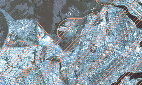
The first group, Legal divisions published by the IBGE, comprises administrative areas established by the legislation or normative rules for which the IBGE is committed to release statistical information. The delimitation is not made by the IBGE and, as a result, these divisions are updated only when the changes area formalized either by their producers or by new legal or administrative instruments. The second group, IBGE´s Institutional divisions, comprises areas established by the IBGE specifically for the production, dissemination and analysis of official statistics. These areas are designed to meet the requirements of data collection and operation of the censuses and other surveys, as well as the geographic studies key to those statistics, in order to produce a number of relevant divisions for the public planning and management, as well as inputs to the investments of the private sector.
This publication is the beginning of an ambitious institutional project aiming at integrating the existing systems and standardizing the incorporation of new territorial divisions currently present in Brazil, strengthening, thus, the integration between Statistics and Geography, aiming at making available comparable and spatially integrated data.
About the publication - 2023
This publication presents only the sections of the Geographic Framework that were updated in 2024. In August, the following sections were updated: Urban Cluster, Metropolitan Category, Metropolitan Subcategory, Metropolita Subdivision.
To access the other sections, check the complete edition, published in 2022 or the update published in 2023. Based on the sections that make up the Geographic Framework, a set of updated territorial information is produced allowing society to access, visualize, analyze and understand the statistics produced by the IBGE.
Information of their production, update and management is presented for each of the geographic sections considered.
This update is part of an institutional project that intends to integrate the current systems and standardize the incorporation of the new territorial segments present in contemporary Brazil, therefore strengthening the integration between Statistics and Geography with a view to making comparable and spatially integrated data available.
Learn more - 2023
News and Releases
IBGE releases 2024 update of geographic divisions in Brazil
The IBGE makes available today (24) the 2024 update of 21 legal territorial and institutional divisions...
24/06/2025

IBGE´s Geographical Chart of Reference has new page
A new tool to streamline the access to geographies of the Geographical Chart of Reference for the Production,...
17/01/2025
IBGE updates geographic divisions of reference to disseminate results of 2022 Census
The IBGE released today (19) the 2022 edition of the Geographic Reference Framework for the Production,...
19/07/2023
IBGE updates Geographic Framework for Statistics on interactive platform on interactive platform
The IBGE updates today ( July 27) the Geographic Reference Framework for the Production, Analysis and...
27/07/2022
IBGE releases geographic reference framework for statistics
The IBGE releases today the Geographic Reference Framework for the Production, Analysis and Dissemination...
02/05/2019
Publication gathers territorial divisions and integrates geosciences and statistics
The IBGE launches today (2) the Geographic Chart of Reference for the Production, Analysis and Dissemination...
02/05/2019
Errata
Replacement of the publication Geographic Reference Framework for the Production, Analysis and Dissemination of Statistics
Published date: 15/07/2019
Description:
Errors detected in Figure 1, page 17; paragraph 1, in Geocodification, page 35; Picture 7, page 35; Map 4, page 46; Map 5, page 49; paragraph 5, in Definition, page 68; paragraph 1, in Geocodification, page 102, and Technical staff, page 171.
Actions: The incorrect maps and picturess were replaced; the repetive paragraph was excluded and the absent technical teams were included.