

Nossos serviços estão apresentando instabilidade no momento. Algumas informações podem não estar disponíveis.
-
Home

-
Geosciences
-
Territorial organization
-
Territorial Meshes
- NP-Mesh of Enumeration Areas
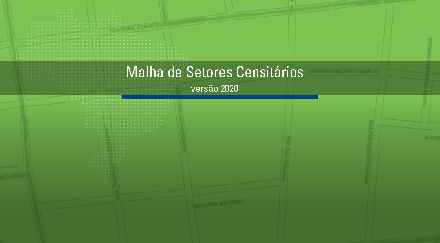
Mesh of Enumeration Areas
Description
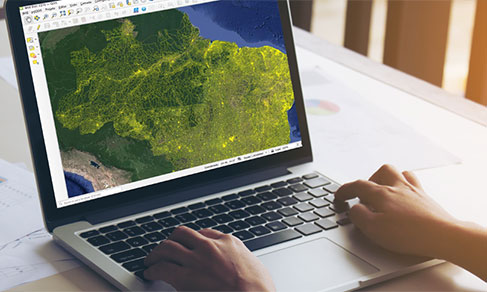
It is a compilation, in digital format, of the smallest territorial portion used by IBGE to plan and carry out data collection for the Census and Statistical Surveys: the Enumeration Area. This corresponds to a section of the national territory, considering the Political-Administrative Division and other territorial structures, which allows the collection of statistical information within the due collection period.
It depicts the stage of IBGE's cadastral systems in time, according to the processes of data acquisition, treatment, management and updating, to be used in the construction of the Census Mapping for the Population Censuses and Household Surveys. It constitutes an overview of the Brazilian Political-Administrative Division in force on the reference date, including States, Federal District, Municipalities, Districts and Subdistricts, whose cadastral identification comprises the code of the enumeration area. In addition, each enumeration area brings information capable of organizing the collection, such as its urban or rural location/feature and status of locations, such as cities, villages, urban centers and rural agglomerations.
As of 2020, it became possible to distinguish the Mesh of Enumeration Area or, simply Census Mesh, from the new product, the Intermediate Mesh of Enumeration Area. The former is linked to the disclosure of the results of operations such as Population Censuses, Censuses of Agriculture and Population Count. In this case, as it is the result of a thorough survey of the Brazilian territory, it will have a much larger set of information than the Intermediate Mesh of Enumeration Areas. This, in turn, will bring annually updated information on territorial changes that affect the form and classification of enumeration areas on a annual basis, although it does not bring the statistical information brought by the former.
About the publication - 2017 Census Mesh
Mesh of Enumeration Areas and Intramunicipal Divisions
It is a set of files that portrays the Enumeration Areas and the Political-Administrative Division of Brazil, updated for the 2017 Census of Agriculture.
The Mesh of Enumeration Areas contains the basic territorial units of collection: the enumeration areas. The enumeration areas are made up of continuous polygons, entirely contained in urban or rural areas, whose size, number of households and establishments allow the enumerator to carry out his activities within a specified period, respecting the schedule of activities. Each enumaeration areas has an identifying number, called a geocode. It is formed by recomposing the political-administrative hierarchy to which the enumeration area belongs: the first two digits refer to the state code; the subsequent five are related to the municipality; the next two indicate the district; the next two point to the subdistrict; and, finally, the last five to the enumeration area.
The Political-Administrative Division of Brazil contains the defining polygons for municipalities, districts and subdistricts, represented in vector format in shapefile and kml files. It is important to emphasize that the Municipal Mesh used in the Census of Agricuture of 2017 is the one that represents the municipal borders updated in 2016.
More on the product - 2017 Census Mesh
Learn more - 2017 Census Mesh
News and Releases
IBGE launches Intermediate Sectoral Mesh 2021
The IBGE releases today (21) the Intermediate Sectoral Mesh 2021 in digital format, including the classification...
21/11/2022
IBGE discloses the 2020 Intermediate Mesh of Enumeration Areas
Today (25) the IBGE publishes the 2020 Intermediate Mesh of Enumeration Areas in digital format, with...
25/02/2021
IBGE launches Intermediate Sectoral Mesh 2019
The IBGE releases today (30) the Intermediate Sectoral Mesh 2019 in digital format, including the classification...
30/07/2020

Errata
Amendment in the release of the 2020 Intermediate Mesh of Enumeration Areas
Published date: 15/03/2021
Description:
Amendment in the release of the 2020 Intermediate Mesh of Enumeration Areas, published on February 25, after determining inconsistencies in the counting of enumeration areas, which were amended from 448,988 to 449,880.
Files in shape and kml format of the "2020 Intermediate Sectoral Mesh" were replaced to correct the field “Sub-district” in the Federal District and the field “District” in the Muncipalities of 2205706 - Luís Correia-PI; 2401305 - Campo Grande-RN; 2601607 - Belém do São Francisco-PE; 3122900 - Dona Euzébia-MG; 4216057 - São Cristóvão do Sul-SC; 4323770 – Westfália-RS; 5000203 - Água Clara-MS; 5001904 – Bataguassu-MS and 5220157 - São Luiz do Norte-GO.Actions: The news was updated at https://agenciadenoticias.ibge.gov.br/en/agencia-press-room/2185-news-agency/releases-en/30121-ibge-divulga-malha-setorial-intermediaria-2021.
The files were replaced at https://www.ibge.gov.br/en/geosciences/territorial-organization/territorial-organization/28114-malhas-de-setores-censitarios-divisoes-intramunicipais-2.html?=&t=o-que-e.
Links