Nossos serviços estão apresentando instabilidade no momento. Algumas informações podem não estar disponíveis.
-
Home

-
Geosciences
-
Environmental Information
-
Land use and cover
- NP-Changes in land use and cover#coberturaeusodaterra
Changes in Land Use and Cover
About the publication - 2000-2012 Changes in Land Use and Cover
It encompasses activities related to Systematic Mapping of Land Use. Its general objectives are: to deal with the classifications of land use all over the country, analyze its impacts and establish environmental indicators. The development of activities is based on the experience of Geosciences teams in the field of environmental diagnosis and, as an international reference, CORINE – the EEC Program for compilation of data on Land Use and Land Cover and monitoring of changes.
Learn more - 2000-2012 Changes in Land Use and Cover
News and Releases
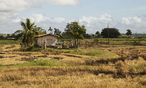
Between 2000 and 2020, agricultural area grew 230 thousand km², natural vegetation reduced 513 thousand km² in Brazil
The IBGE released today (7) the Environmental-Economic Accounting for Land: Physical Accountability,...
07/10/2022
IBGE releases Changes in Land Use and Cover by state between 2000 and 2018
For the first time ever, the IBGE releases today (17) Changes in Land Use and Cover with disaggregated...
17/03/2021
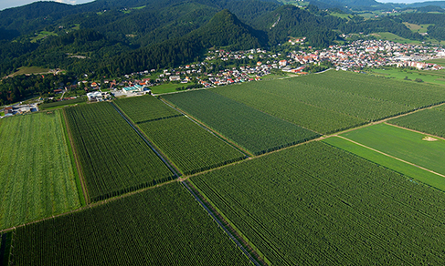
Agricultural area increases in two years, occupies 7.6% of national territory in 2018
The agricultural area in Brazil increased 3.3% between 2016 and 2018, as pointed out by Monitoring Land...
26/03/2020
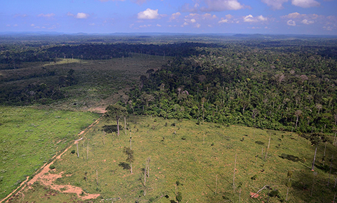
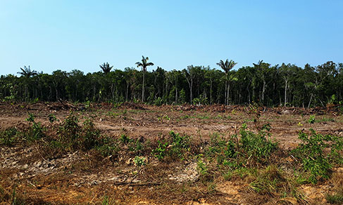
Country lost 7.5% of its forests between 2000 and 2016
The new version of the Monitoring of Land Use and Land Cover of Brazil, put out today by the IBGE, shows...
12/11/2018