

Nossos serviços estão apresentando instabilidade no momento. Algumas informações podem não estar disponíveis.
-
Home

-
Geosciences
-
Environmental Information
-
Geology
- NP-Novo Portal
Macro-characterization of Brazil's Natural Resources
Description
It presents a spatially-integrated view of the natural environment in Brazil, covering the topics geology, geomorphology, pedology and vegetation, by means of maps, descriptions, photos, pictures, images, diagrams and schemes structures, besides covering statistics about the spatial distribution of the elements described.
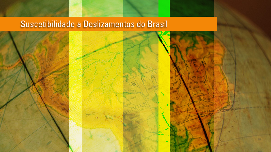
About the publication - Brazil's Landslide Susceptibility - First Approach
The events of landslides have been causing, almost every year, several
problems to society, such as the destruction of urban buildings and equipment, losses in productive activities, environmental impacts and deaths, especially when in or near urban areas. In Brazil,
these events are of great concern to civil society and
due to the characteristics of the country's physical environment, tropical climate and high rainfall, it gathers a set of factors that favor,
some regions, the triggering of such phenomena. Added to this, there is an often disordered dynamics of land use and occupation, which
enhances the incidence of landslide events and aggravates their impacts.
In the National Territory, the Geological Service of Brazil - CPRM has been producing Maps of Susceptibility to Mass Gravity Movements and Floods in the 1:25 000 and 1:50 000 scales, since 2012, with information for the inventory of landslide susceptibility in the municipalities more likely to have them. However, although they are elements of proven importance for territorial planning, there is still a considerable information gap on the subject, making it increasingly necessary to carry out studies of this nature in the country.
Sensitive to the extreme importance of this issue, the IBGE brings to the public, in this second volume of the Macrocharacterization of Natural Resources of Brazil collection, a first approach of Brazil's Landslide Map, compatible with the 1: 1 000 000 scale, using the databases of the Institute itself, in the fields of Geology, Geomorphology, Pedology, Vegetation, and Land Cover and
Land Use as well as information from external sources.
The results of this study, although grounded on bases and concepts
present in the international literature, are informative and, thus, works providing a general knowledge about the susceptibility to landslides to different audiences. Therefore, it is noteworthy that the Brazilian Landslide Map presented herein is not intended and should not be used for local environmental and territorial planning or management purposes, or for engineering works, nor is it intended to replace the excellent work of the CPRM. Its purpose is to represent the country as a whole and disseminate it to areas of interest for further research.
More on the product - Brazil's Landslide Susceptibility - First Approach
Publications - Brazil's Landslide Susceptibility - First Approach
Suscetibilidade a deslizamentos do Brasil : primeira aproximação
Material type: Book
Year: 2019
Learn more - Brazil's Landslide Susceptibility - First Approach
News and Releases
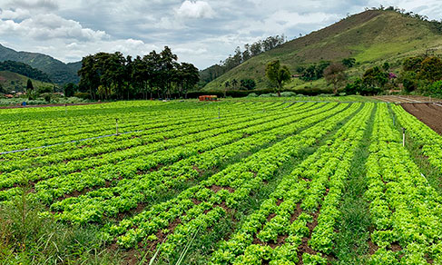
IBGE´s unprecedented publication shows high natural potential for agriculture in Brazil
The IBGE released today (5) the Map of Natural Agricultural Potential of Land in Brazil, an unprecedented...
05/12/2022
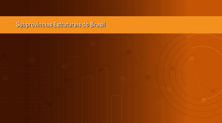
IBGE maps 97 Brazilian structural sub-provinces
The IBGE releases today (July 16) the Macro-characterization of The Brazilian Natural Resources - Structural...
16/07/2020
Unprecedent IBGE study shows South and Southeast as the most likely regions to have landslides
Today the IBGE puts out an unprecedent study on landslides in the country. The map “Brazil's landslide...
29/11/2019
Errata
Cartographic enhancement of Map of Structural Subprovinces
Published date: 27/07/2020
Description:
Some cartographic elements in the map needed adjustments, for instance, the map labels, legends and the delimitation of the maritime boundaries.Actions: Previously in Brazilian Portuguese, the names of the countries are now spelled in their original language; New position and curved style lettering for label text that says 'Oceano Atlântico' (Atlantic Ocean) following the sea lines; Label adjustment for 'Limite Estadual' (State limit) which was just 'Estadual' (State) before; Amendment of the class labels for the Group of 'Subprovinces of the Coastal Province and Continental Shore' which were duplicated; Insertion of lateral limits for maritime boundaries.